Mapping Climate Risk: How Spatial Agent-Based Models Reveal Economic Vulnerabilities
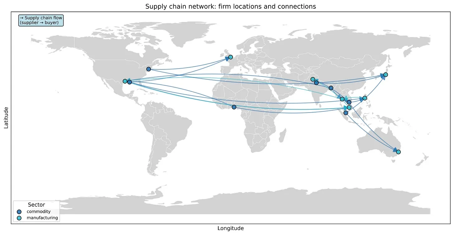
The spatial climate ABM uses climate projections and CLIMADA damage functions to model the economy with a heterogeneous set of firm and household agents that have varying risk tolerances, vulnerabilities, and trade relationships.
Read the full article here: https://yaramo.substack.com/p/geospatial-agent-based-modelling
The open source framework discussed in the article is available at: https://github.com/yaramohajerani/spatial-climate-ABM